Geography
View Larger Map
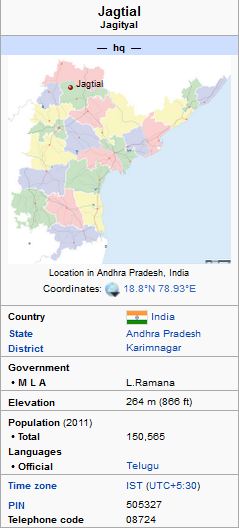
Jagtial is located at 18.8°N 78.93°E. It has an average elevation of 264 meters (866 feet). The town is surrounded by four ponds.
Kandla palli, used for irrigatiion
Mupparaap, used for irrigation
Dharma samandar, used for drinking water
Mote pond, used for irrigation.
The SRSP irrigation canal and flood canal passes by the town of Jagtial.
As per provisional data of 2011 census, Jagtial urban agglomeration had a population of 103,962, out of which males were 51,819 and females were 52,143. The literacy rate was 78.69 per cent.
Jagtial Political Information
The Present Member of Legislative Assembly(MLA) is L Ramana.
Ruling party is Telugu Desam Party(TDP)
As per provisional data of 2011 census, Jagtial urban agglomeration
had a population of 103,962, out of which males were 51,819 and females
were 52,143. The literacy rate was 78.69 per cent.
Jagtial Political Information